Carol Zuber-Mallison • ZM Graphics, Inc.
Custom infographics, GIS, cartography, and data visualizations for print, web, and presentation
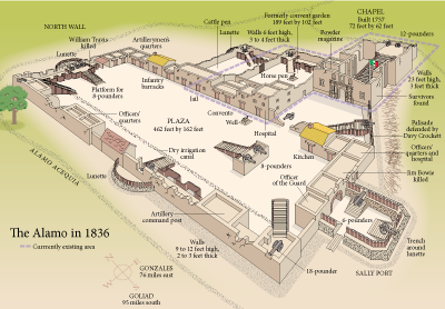
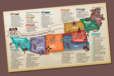
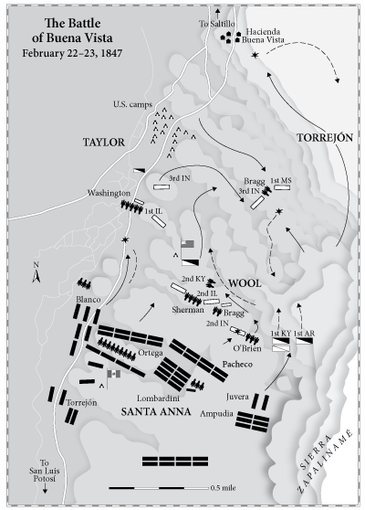
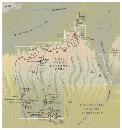
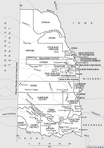
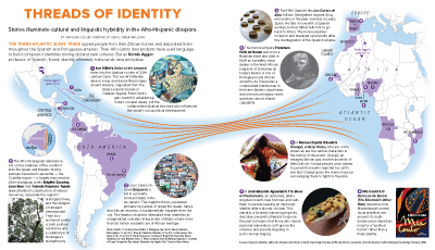
Mapping history
. . . and Texas
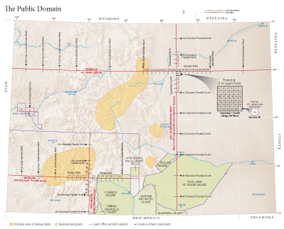
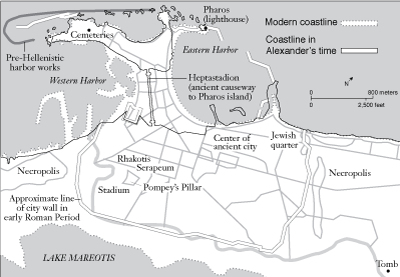
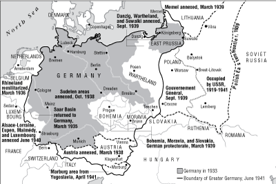
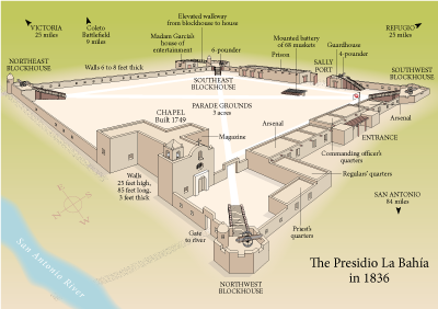
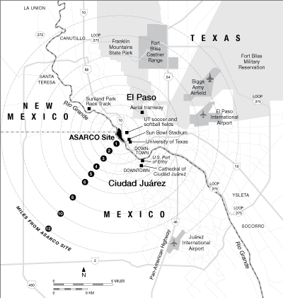
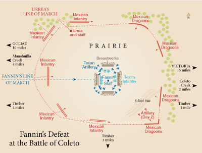
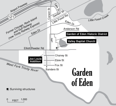
Building new maps from historical references has unique challenges but is terribly fun. I learn so much and I get
to work closely with authors who are passionate about their projects.
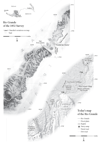
As much as is possible, I try to get the historical story to line up with the current reality, so the reader can
see where the things of the past overlap with their present. Sometimes I'm working from close-but-not-quite-accurate army surveys from 1852 and
sometimes from the author's much-less-accurate imagination.
Getting historic things to line up with today's super-accurate GIS is
difficult but very satisfying. It's surprising how often the Indian trails have become today's interstates.
I have done hundreds of historic maps for textbooks and college presses. Yell if you'd like to see something specific.
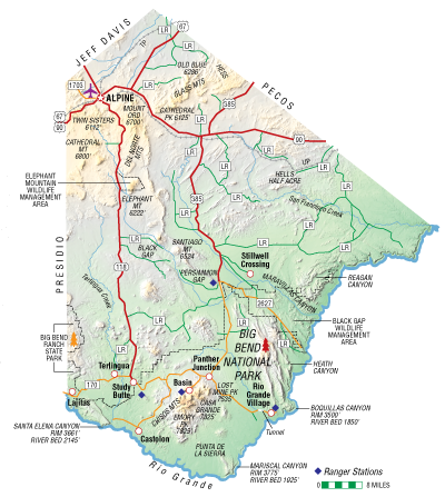
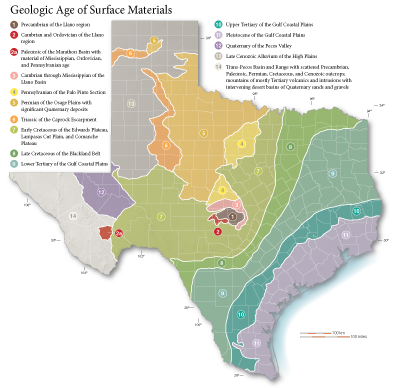
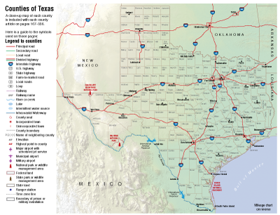
Also in the collection at right are a few of the many graphics I've done on Texas. It takes
a little native knowledge to know Houston is not in Houston County and the Colorado River is not THE Colorado River. Everything is bigger in Texas,
including the number of counties: 254! I did the cartography on both Texas Almanac
and Texas: A Historical Atlas--more than 400 maps total. I know my way around the Lone Star State.
