Carol Zuber-Mallison • ZM Graphics, Inc.
Custom infographics, GIS, cartography, and data visualizations for print, web, and presentation
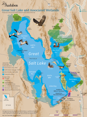
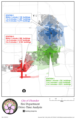
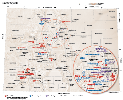
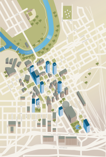
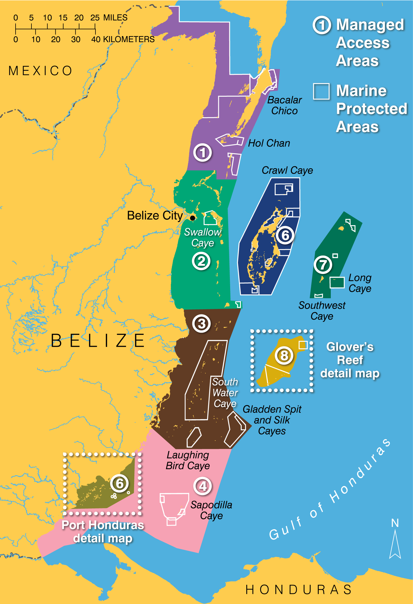
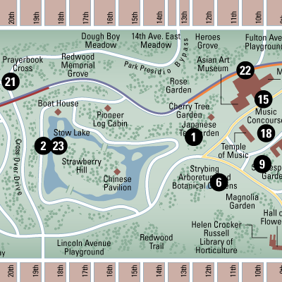
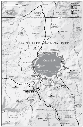
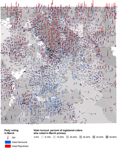
Combining ArcGIS with Adobe Illustrator to create beautiful maps that tell your story
I have been doing custom cartography for years in Adobe Illustrator and recently added the incredible power of GIS
(Geographic Information System) mapping.
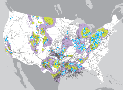
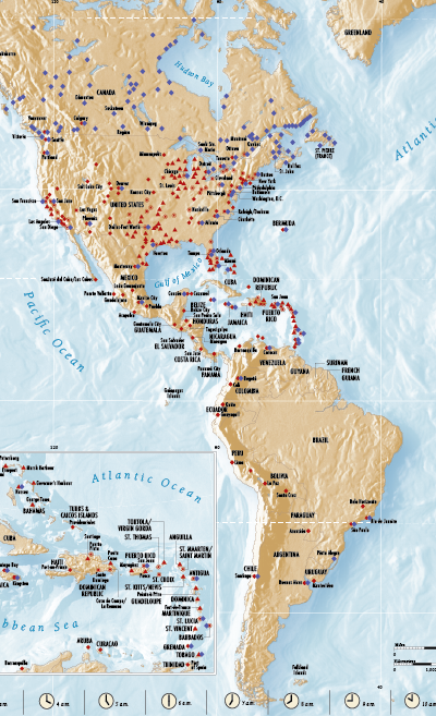
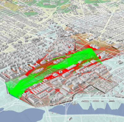
I can take available GIS datasets or your location data, build a super-accurate base in ArcGIS, and then flip it into
Adobe Illustrator to create a vector map with a resolution high enough for print, presentations, and online.
This same map can be easily output in all the common formats for all uses from Powerpoint to web to video.
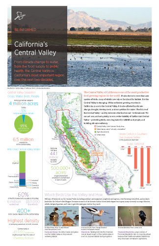
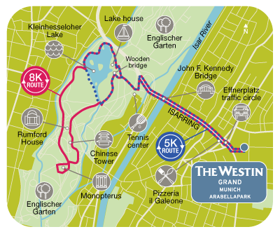
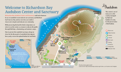
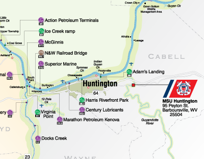
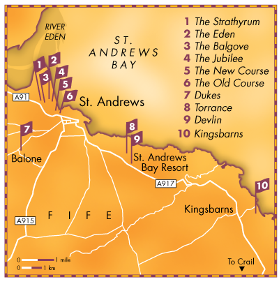
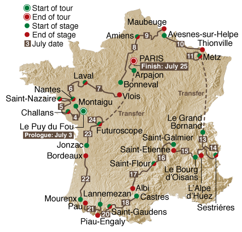
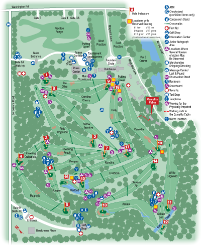
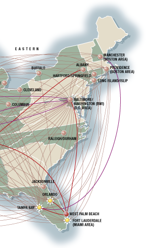
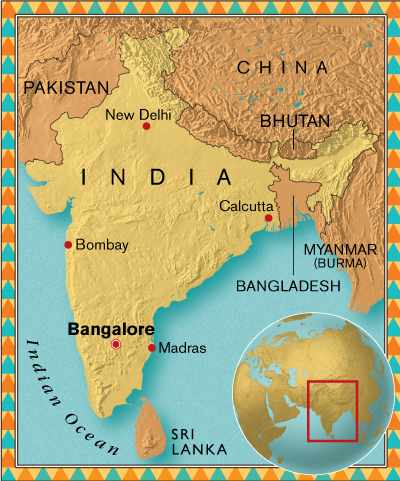
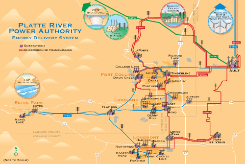
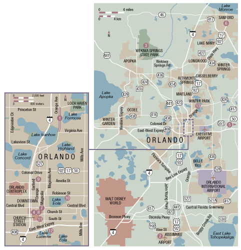
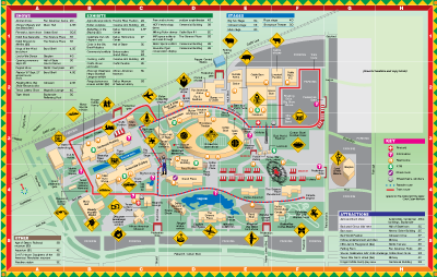
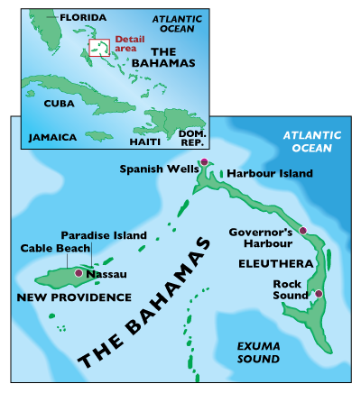
Through the years I have done hundreds of maps telling all sorts of stories around the globe.
Here are a few of the many historical maps I've done, plus things related to the Lone Star State.
